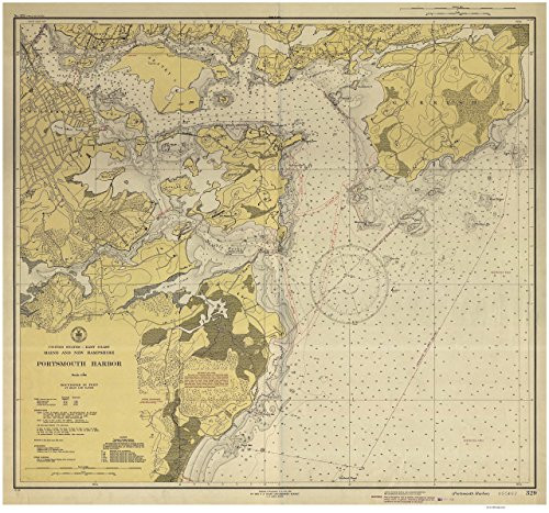
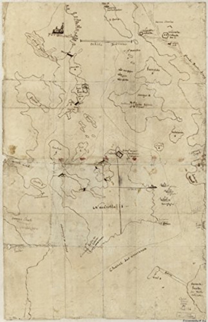
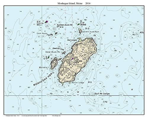
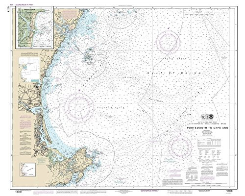
A detailed map of the Portsmouth area produced during the World War II era. Of interest are the warnings of the "Defensive Sea Area". Also shown are roads and buildings on land as well as many nautical features. The map was produced by the US Coast and Geodetic Survey. Original size: 43" x 46" Printed on high quality bond paper with Canon ink and also available on canvas.
Portsmouth Harbor 1945 - New Hampshire and Maine Nautical Map - Harbors 1-329 Reprint
Was:
$163.90
Now:
$81.95
- SKU:
- NT315750
- Condition:
- New
- Availability:
- Free Shipping from the USA. Estimated 2-4 days delivery.


