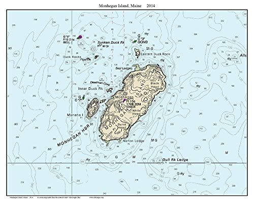
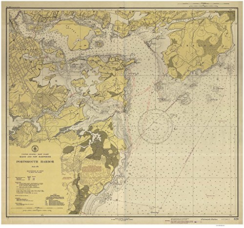
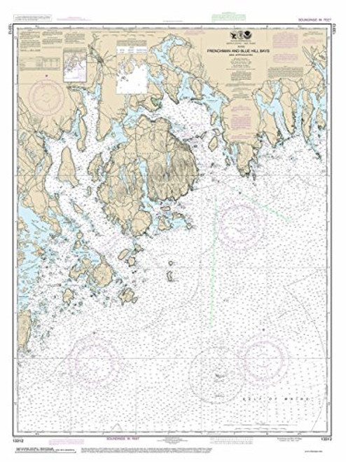
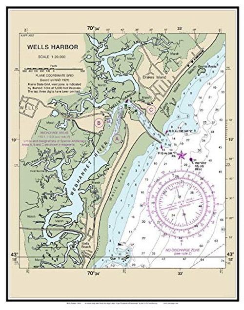
A charming nautical map of Newport Harbor, Rhode Island published in 1931 by the U.S. Coast and Geodetic Survey. It shows the roads, topography, water depths, and nautical features. Included on this chart are the Naval Base buildings and areas labeled as to where cables have been laid on the sea floor. We have changed to color of the water from tan to blue in order to highlight the features of the bay. Great for history lovers. (Original size 27"x40") Printed on high quality bond paper with Canon ink. Please choose carefully as maps are not returnable.
Newport Harbor RI - 1931 Nautical Map by the USCGS - Reprint Harbors 236 - Custom Blue - 2 3
Was:
$163.90
Now:
$81.95
- SKU:
- VTO212360
- Condition:
- New
- Availability:
- Free Shipping from the USA. Estimated 2-4 days delivery.


