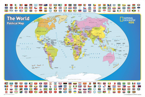
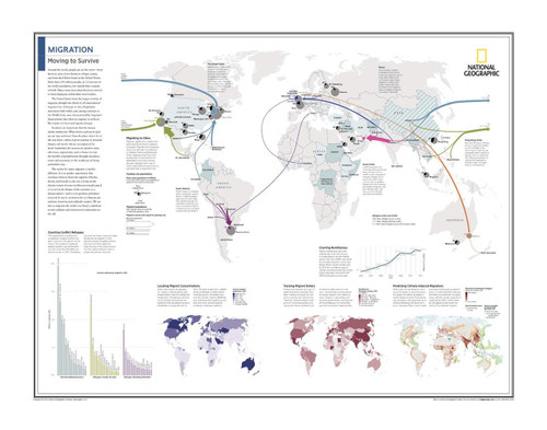
National Geographic's The World for Kids wall map is an enticing and engaging world map perfect for classroom, home or library. Recommended by geography educators for ages 7 to 12, this map features an optimized map design for readability and easy, intuitive learning. All 195 independent countries and their official, colorful flags are represented and arranged in alphabetical order for ease-of-use.
If your child is keen to learn about the world around them, this product will pique their curiosity and lead to questions and discussions for the whole family about our planet.
Expertly researched, The World for Kids map is an essential reference tool for today's interesting geographical world. Drawn in the Winkel Tripel projection, distortions of land masses around the poles are minimized: unlike many other World maps, Greenland is accurately shown as the same size as Argentina and not the size of all of South America.
National Geographic's maps are the standard by which all other reference maps are measured. The maps are meticulously researched and adhere to National Geographic's convention of making independent, apolitical decisions based on extensive research using multiple authoritative sources.
Printed on high quality thick paper strong enough for display on your wall.
Your map is rolled and packaged in a sturdy tube to protect it during shipment.


