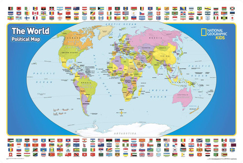
National Geographic's The United States for Kids wall map is an enticing and engaging United States map perfect for classroom, home or library. Recommended by geography educators for ages 7 - 12, this map features an optimized map design for readability and easy, intuitive learning. The United States for Kids map is an essential reference tool for today's well informed student of geography.
Clear latitude and longitude lines make this map ideal for navigation and help develop the basic skills of map reading that are often neglected in today's digital GPS driven world.
All 50 states and the District of Columbia are shown with their official, colorful flags, which are arranged in alphabetical order for ease-of-use. Bright colors help define state borders, allowing students to learn the shapes and locations of each region with ease. Major cities and rivers are carefully labeled to maintain legibility, and insets of Hawai'i and Alaska complete the map.
National Geographic's maps are the standard by which all other reference maps are measured. The maps are meticulously researched and adhere to National Geographic's convention of making independent, apolitical decisions based on extensive research using multiple authoritative sources.
Printed on high quality thick paper strong enough for display on your wall.
Your map is rolled and packaged in a sturdy tube to protect it during shipment.


