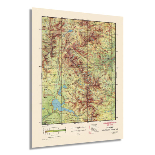
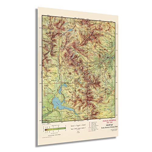
This Rocky Mountain National Park map is an invaluable resource for exploring the hundreds of miles of mapped trails within the park. Based on the popular Trails Illustrated map of the area, this wall map provides rich topographic detail to show the park's magnificent scenery, including the impressive Longs Peak, which, at 14,259, dominates the skyline, and the famous "Keyhole Route" that leads to the top of the fourteen thousand foot summit.
Explore the park with historic details, roads, trails, regions of National Parks, National Forests, Wilderness Areas, State Forests, and the intersection of the Continental Divide Trail. Points of interest including ranger stations, interpretive trails, picnic areas, horse rental areas, and more are featured on this highly attractive map.
This map is part of a series of maps based on the Trails Illustrated map series of national parks, specially designed to be informative and attractive for wall displays. It makes a wonderful companion to others in the series, including Glacier & Waterton Lakes Park and Yellowstone National Park.
Printed on high quality thick paper strong enough for display on your wall.
Your map is rolled and packaged in a sturdy tube to protect it during shipment.


