This map of Lake Winnipesaukee is a composite map I stitched together with sections of six old USGS maps: Holderness 1925, Winnipesaukee 1909, Wolfeboro 1928, Penacook 1927, Gilmanton 1919 & Alton 1919. This map shows topography, major roads, railroads (most are now gone), cities, and buildings. Though I date the map ca. 1928, most of the lake itself is taken from the 1909 "Winnipesaukee" quad. Original size: 14" x 21". Available in different sizes. Printed on high quality bond paper with Canon ink. Also available on canvas. Please choose carefully as maps are not returnable.
Lake Winnipesaukee ca. 1928 Meredith to Wolfeboro - USGS Old Topographic Map - CUSTOM Composite Reprint New Hampshire - 2 3
MSRP:
Was:
$171.90
Now:
$85.95
(You save
)
(No reviews yet)
Write a Review

Write a Review

Lake Winnipesaukee ca. 1928 Meredith to Wolfeboro - USGS Old Topographic Map - CUSTOM Composite Reprint New Hampshire - 2 3
- SKU:
- VTO222350
- UPC:
- Condition:
- New
- Availability:
- Free Shipping from the USA. Estimated 2-4 days delivery.

Add to Cart
The item has been added
Lake Winnipesaukee ca. 1987 Meredith to Wolfeboro - USGS Old Topographic Map - CUSTOM Composite Reprint New Hampshire - 2 3
MSRP:
Was:
$171.90
Now:
$85.95

Add to Cart
The item has been added
Cayuga Lake Blue Water - ca. 1943 USGS Old Topographic Map Custom Composite Reprint New York Finger Lakes
MSRP:
Was:
$171.90
Now:
$85.95

Add to Cart
The item has been added
Raquette Lake - 1903 USGS Old Topographic Map Custom Composite Reprint New York Adirondack Lakes
MSRP:
Was:
$147.90
Now:
$73.95

Add to Cart
The item has been added
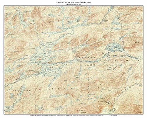
Raquette Lake and Blue Mountain Lake - 1903 USGS Old Topographic Map Custom Composite Reprint New York Adirondack Lakes
MSRP:
Was:
$171.90
Now:
$85.95

Add to Cart
The item has been added
Mount Desert Island 1904 Old Topographic Map USGS - Custom Composite Reprint Maine
MSRP:
Was:
$171.90
Now:
$85.95

Add to Cart
The item has been added
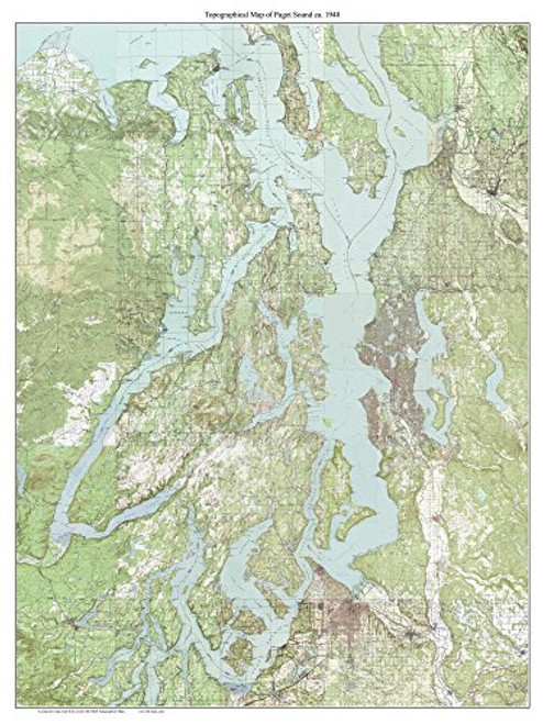
Puget Sound - ca. 1940 - USGS Old Topographic Map Custom Composite Washington
MSRP:
Was:
$171.90
Now:
$85.95

Add to Cart
The item has been added

Add to Cart
The item has been added
Cape Cod 1890 USGS Old Topographic map WIDE Custom Composite of 12 USGS maps Massachusetts - Reprint 3 4 Cape only cc4
MSRP:
Was:
$171.90
Now:
$85.95

Add to Cart
The item has been added
!

