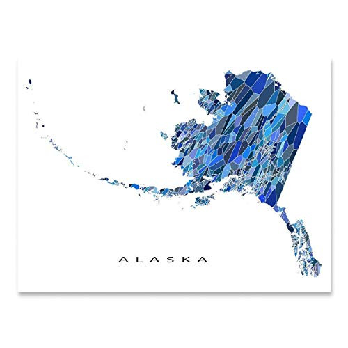
By far the largest state in America, Alaska bears some of the most iconic geographical features and images of any place in North America. Alaska did not achieve statehood until 1949, becoming the 49th state, but was officially recognized as a territory in 1912. Since the 1890s, gold rushes in Alaska and the neighboring Yukon Territory attracted eager miners and other settlers who established outfitting scope to provide gear and equipment as thousands flocked to the region in search of fortune. European settlement in Southeast Alaska was primarily immigrants from Norway and Sweden who brought their cultural traditions and knowledge of living in harsh winter conditions.
During World War II, the Aleutian Islands Campaign saw American forces battling with the Japanese across the sparsely populated archipelago in southeastern Alaska. Several of the islands remained under Imperial control of Japan, and the United States military believed attacks could be carried out on the American West Coast if their presence was not mitigated. This led to military bases being installed across the state, which further expanded its burgeoning economy.
Indigenous peoples had previously settled the region, and Russia began to establish colonies across southeastern Alaska. Russia would eventually cede any colonial claims to the United States in 1867 under a deal brokered by Secretary of State William H. Seward. This map’s distinguished style and classic illustration depict this unique area in a period of transition as modern advances in technology increased expansion, but traditional cultural norms and influence continued to shape the state’s character.
Our museum quality giclee print comes printed with archival ink on premium heavyweight matte paper. Shipped in a sturdy cardboard tube your print will arrive ready to be framed. This eye-catching vintage map reproduction print makes the perfect gift for anyone that loves history and imagery.


