Shows drainage, relief by hachures, cities and towns, township and county boundaries, and the railroad network with names of lines and distances between stations.
Historic Prints HP 16" x 24" 1872 New Commercial & Topographical Railroad Map & Guide of Missouri
MSRP:
Was:
$127.60
Now:
$63.80
(You save
)
(No reviews yet)
Write a Review
Write a Review
![Historic Prints HP 16" x 24" 1872 New Commercial & Topographical Railroad Map & Guide of Missouri Historic Prints HP 16" x 24" 1872 New Commercial & Topographical Railroad Map & Guide of Missouri](https://cdn11.bigcommerce.com/s-t8bvbs505h/images/stencil/500x659/products/28697886/30357524/61UMoIbzjXL__32590.1703986438.jpg?c=2)
Historic Prints HP 16" x 24" 1872 New Commercial & Topographical Railroad Map & Guide of Missouri
- SKU:
- ZDW806062
- UPC:
- 766894452201
- Condition:
- New
- Availability:
- Free Shipping from the USA. Estimated 2-4 days delivery.
![Historic Prints HP 20" x 24" 1872 Map of Topographical Map of Cape May County New Jersey from Recent & Actual Surveys Historic Prints HP 20" x 24" 1872 Map of Topographical Map of Cape May County New Jersey from Recent & Actual Surveys](https://cdn11.bigcommerce.com/s-t8bvbs505h/images/stencil/500x659/products/28697889/30357527/91QYin8YVeL__47198.1703986439.jpg?c=2)
Add to Cart
The item has been added
Historic Prints HP 20" x 24" 1872 Map of Topographical Map of Cape May County New Jersey from Recent & Actual Surveys
MSRP:
Was:
$127.60
Now:
$63.80
![Historic Prints HP 16" x 24" 1872 Map of Milwaukee Wisconsin Historic Prints HP 16" x 24" 1872 Map of Milwaukee Wisconsin](https://cdn11.bigcommerce.com/s-t8bvbs505h/images/stencil/500x659/products/28697887/30357525/91lVpxNZJ1L__00795.1703986438.jpg?c=2)
Add to Cart
The item has been added
Historic Prints HP 16" x 24" 1872 Map of Milwaukee Wisconsin
MSRP:
Was:
$127.60
Now:
$63.80
![Historic Prints HP 18" x 24" 1872 Topographical Map of Pike County Pennsylvania from Recent & Actual Surveys & Records Historic Prints HP 18" x 24" 1872 Topographical Map of Pike County Pennsylvania from Recent & Actual Surveys & Records](https://cdn11.bigcommerce.com/s-t8bvbs505h/images/stencil/500x659/products/28697888/30357526/91R4cr6334L__99789.1703986439.jpg?c=2)
Add to Cart
The item has been added
Historic Prints HP 18" x 24" 1872 Topographical Map of Pike County Pennsylvania from Recent & Actual Surveys & Records
MSRP:
Was:
$127.60
Now:
$63.80
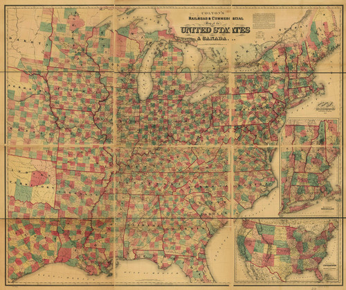
![Historic Prints HP 20" x 24" 1871 Map of Colton's Railroad & Commercial of The United States & Canada Historic Prints HP 20" x 24" 1871 Map of Colton's Railroad & Commercial of The United States & Canada](https://cdn11.bigcommerce.com/s-t8bvbs505h/images/stencil/500x659/products/28697892/30357530/A1YH2bg0trL__36628.1703986441.jpg?c=2)
Add to Cart
The item has been added
Historic Prints HP 20" x 24" 1871 Map of Colton's Railroad & Commercial of The United States & Canada
MSRP:
Was:
$127.60
Now:
$63.80
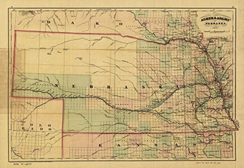
![Historic Prints 20" x 24" 1874 Map of Nebraska Railroad & Guide United States Historic Prints 20" x 24" 1874 Map of Nebraska Railroad & Guide United States](https://cdn11.bigcommerce.com/s-t8bvbs505h/images/stencil/500x659/products/28697915/30357553/517Hv23LSvL__67999.1703986452.jpg?c=2)
Add to Cart
The item has been added
Historic Prints 20" x 24" 1874 Map of Nebraska Railroad & Guide United States
MSRP:
Was:
$127.60
Now:
$63.80
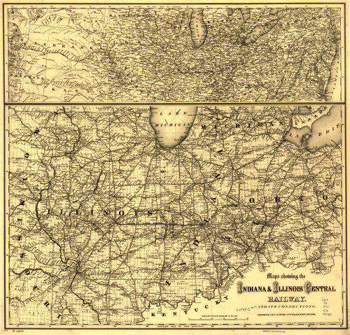
![Historic Prints HP 24" x 24" 1872 Map Showing The Indiana & Illinois Central Railway & Its Connections Historic Prints HP 24" x 24" 1872 Map Showing The Indiana & Illinois Central Railway & Its Connections](https://cdn11.bigcommerce.com/s-t8bvbs505h/images/stencil/500x659/products/28697890/30357528/91pFXsdHjxL__78390.1703986440.jpg?c=2)
Add to Cart
The item has been added
Historic Prints HP 24" x 24" 1872 Map Showing The Indiana & Illinois Central Railway & Its Connections
MSRP:
Was:
$127.60
Now:
$63.80
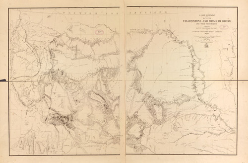
![Historic Prints 16" x 24" 1868 Map of Yellowstone & Missouri Rivers & Their Tributaries Historic Prints 16" x 24" 1868 Map of Yellowstone & Missouri Rivers & Their Tributaries](https://cdn11.bigcommerce.com/s-t8bvbs505h/images/stencil/500x659/products/29700629/31412158/81YPMfyr1JL__52972.1709598956.jpg?c=2)
Add to Cart
The item has been added
Historic Prints 16" x 24" 1868 Map of Yellowstone & Missouri Rivers & Their Tributaries
MSRP:
Was:
$127.60
Now:
$63.80
![Historic Prints 16" x 24" 1862 Map of United States of Kentucky Railroad Network Historic Prints 16" x 24" 1862 Map of United States of Kentucky Railroad Network](https://cdn11.bigcommerce.com/s-t8bvbs505h/images/stencil/500x659/products/28697909/30357547/91W7TIJXZfL__37154.1703986449.jpg?c=2)
Add to Cart
The item has been added
Historic Prints 16" x 24" 1862 Map of United States of Kentucky Railroad Network
MSRP:
Was:
$127.60
Now:
$63.80
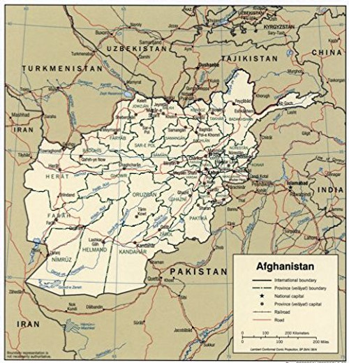
![Historic Prints 24" x 24" 2003 Map of Afghanistan Railroads Roads Historic Prints 24" x 24" 2003 Map of Afghanistan Railroads Roads](https://cdn11.bigcommerce.com/s-t8bvbs505h/images/stencil/500x659/products/29700604/31412133/61aGve5PoWL__52747.1709598943.jpg?c=2)
Add to Cart
The item has been added
Historic Prints 24" x 24" 2003 Map of Afghanistan Railroads Roads
MSRP:
Was:
$127.60
Now:
$63.80
!