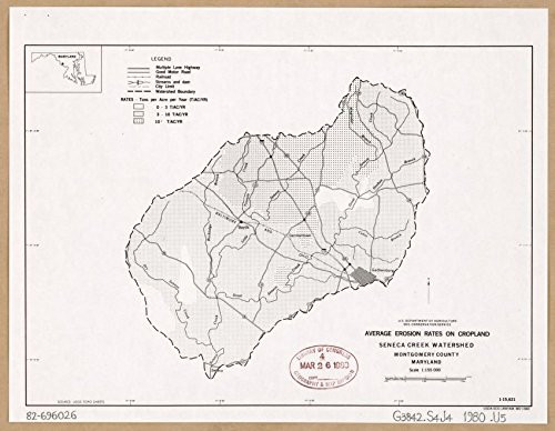
Average erosion rates on cropland, Seneca Creek Watershed, Montgomery County, Maryland, Base map "Source: USGS topo sheets."Includes location map.
Historic Prints 18" x 24" 1980 Map of Seneca Creek Watershed Montgomery County Maryland Average Erosion Rates On Cropland
MSRP:
Was:
$127.60
Now:
$63.80
(You save
)
(No reviews yet)
Write a Review
Write a Review
![Historic Prints 18" x 24" 1980 Map of Seneca Creek Watershed Montgomery County Maryland Average Erosion Rates On Cropland Historic Prints 18" x 24" 1980 Map of Seneca Creek Watershed Montgomery County Maryland Average Erosion Rates On Cropland](https://cdn11.bigcommerce.com/s-t8bvbs505h/images/stencil/500x659/products/28697818/30357456/51o8w8XkhkL__29930.1703986404.jpg?c=2)
Historic Prints 18" x 24" 1980 Map of Seneca Creek Watershed Montgomery County Maryland Average Erosion Rates On Cropland
- SKU:
- ZDW805994
- UPC:
- 706332000588
- Condition:
- New
- Availability:
- Free Shipping from the USA. Estimated 2-4 days delivery.
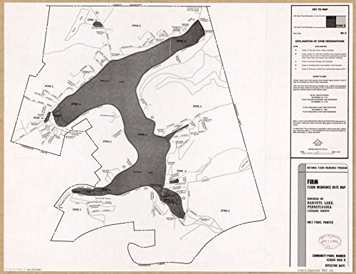
![Historic Prints 18" x 24" 1980 Map of Pennsylvania Luzerne County Flood Insurance Rate Historic Prints 18" x 24" 1980 Map of Pennsylvania Luzerne County Flood Insurance Rate](https://cdn11.bigcommerce.com/s-t8bvbs505h/images/stencil/500x659/products/28697819/30357457/51f9-pWdOjL__95604.1703986404.jpg?c=2)
Add to Cart
The item has been added
Historic Prints 18" x 24" 1980 Map of Pennsylvania Luzerne County Flood Insurance Rate
MSRP:
Was:
$127.60
Now:
$63.80
![Historic Prints 18" x 24" 1981 Map of Upper Chester River Watershed Kent & New Castle Counties Delaware Kent & Queen Annes Counties Maryland Historic Prints 18" x 24" 1981 Map of Upper Chester River Watershed Kent & New Castle Counties Delaware Kent & Queen Annes Counties Maryland](https://cdn11.bigcommerce.com/s-t8bvbs505h/images/stencil/500x659/products/28697824/30357462/71GZ-3HQ5ZL__23425.1703986407.jpg?c=2)
Add to Cart
The item has been added
![Historic Prints 18" x 24" 1863 Military Map Baltimore County Maryland Historic Prints 18" x 24" 1863 Military Map Baltimore County Maryland](https://cdn11.bigcommerce.com/s-t8bvbs505h/images/stencil/500x659/products/29700609/31412138/81j_PWKdjPL__88645.1709598945.jpg?c=2)
Add to Cart
The item has been added
Historic Prints 18" x 24" 1863 Military Map Baltimore County Maryland
MSRP:
Was:
$127.60
Now:
$63.80
![Historic Prints 20" x 24" 1869 Titus' Map of Montgomery County Ohio Historic Prints 20" x 24" 1869 Titus' Map of Montgomery County Ohio](https://cdn11.bigcommerce.com/s-t8bvbs505h/images/stencil/500x659/products/28697896/30357534/91p9UZFM8WL__09709.1703986443.jpg?c=2)
Add to Cart
The item has been added
Historic Prints 20" x 24" 1869 Titus' Map of Montgomery County Ohio
MSRP:
Was:
$127.60
Now:
$63.80
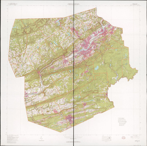
![Historic Prints 24" x 24" 1980 Map of Luzerne County Pennsylvania United States Historic Prints 24" x 24" 1980 Map of Luzerne County Pennsylvania United States](https://cdn11.bigcommerce.com/s-t8bvbs505h/images/stencil/500x659/products/29700619/31412148/91Fti-B7onL__38549.1709598951.jpg?c=2)
Add to Cart
The item has been added
Historic Prints 24" x 24" 1980 Map of Luzerne County Pennsylvania United States
MSRP:
Was:
$127.60
Now:
$63.80
![Historic Prints 16" x 24" 1977 Map of Prince Georges County Maryland Historic Prints 16" x 24" 1977 Map of Prince Georges County Maryland](https://cdn11.bigcommerce.com/s-t8bvbs505h/images/stencil/500x659/products/28697825/30357463/51Tlb64G8HL__43456.1703986407.jpg?c=2)
Add to Cart
The item has been added
Historic Prints 16" x 24" 1977 Map of Prince Georges County Maryland
MSRP:
Was:
$127.60
Now:
$63.80
![Historic Prints 20" x 24" 1984 Map of Chesapeake Bay Watershed Maryland Delaware Virginia Pennsylvania New York Historic Prints 20" x 24" 1984 Map of Chesapeake Bay Watershed Maryland Delaware Virginia Pennsylvania New York](https://cdn11.bigcommerce.com/s-t8bvbs505h/images/stencil/500x659/products/28697946/30357584/71luSBfkHmL__42443.1703986468.jpg?c=2)
Add to Cart
The item has been added
Historic Prints 20" x 24" 1984 Map of Chesapeake Bay Watershed Maryland Delaware Virginia Pennsylvania New York
MSRP:
Was:
$127.60
Now:
$63.80
![Historic Prints 18" x 24" 1879 Map of Runnels County Historic Prints 18" x 24" 1879 Map of Runnels County](https://cdn11.bigcommerce.com/s-t8bvbs505h/images/stencil/500x659/products/29700638/31412167/51rpaTPdpGL__80175.1709598961.jpg?c=2)
Add to Cart
The item has been added
Historic Prints 18" x 24" 1879 Map of Runnels County
MSRP:
Was:
$127.60
Now:
$63.80
![Historic Prints 18" x 24" 1890 Map of Orange County Florida Historic Prints 18" x 24" 1890 Map of Orange County Florida](https://cdn11.bigcommerce.com/s-t8bvbs505h/images/stencil/500x659/products/29700646/31412175/91XAZ_wUxfL__64902.1709598964.jpg?c=2)
Add to Cart
The item has been added
Historic Prints 18" x 24" 1890 Map of Orange County Florida
MSRP:
Was:
$127.60
Now:
$63.80
!