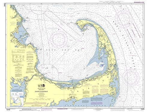
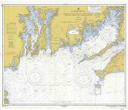
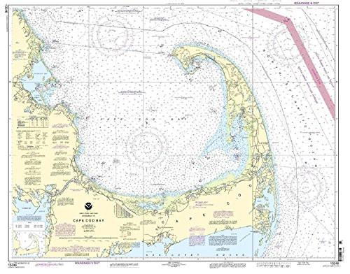
An historic nautical chart of Cape Cod Bay published by the U.S Coast & Geodetic Survey. This reprint shows topography, water depths, and nautical features. We have edited the margins of the original image to make this chart fit standard frames. Original size 34" x 45". We offer this map reprint in different sizes, text will be hard to read at the smaller sizes. Printed in color on high quality bond paper.
Cape Cod Bay - 2013 Nautical Map Massachusetts- Duxbury Plymouth Provincetown 80000 AC Custom Reprint ED 3 4 - Chart 1208 13246
MSRP:
Was:
$163.90
Now:
$81.95
(You save
)
(No reviews yet)
Write a Review
Write a Review

Cape Cod Bay - 2013 Nautical Map Massachusetts- Duxbury Plymouth Provincetown 80000 AC Custom Reprint ED 3 4 - Chart 1208 13246
- SKU:
- VTO212374
- UPC:
- Condition:
- New
- Availability:
- Free Shipping from the USA. Estimated 2-4 days delivery.
Add to Cart
The item has been added
Add to Cart
The item has been added
Add to Cart
The item has been added
Add to Cart
The item has been added
Add to Cart
The item has been added
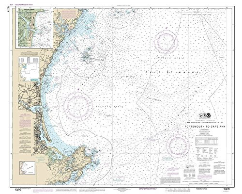
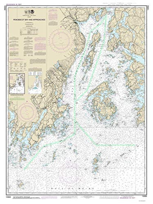
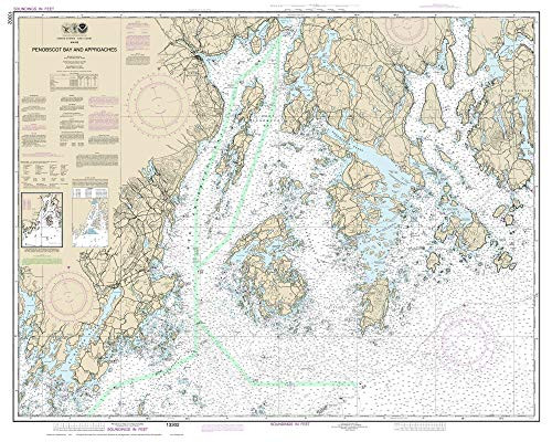
Vinalhaven and Penobscot Bay - 2014 Nautical Map -Maine CUSTOM 80000 AC Reprint - Charts 13302-13312
MSRP:
Was:
$163.90
Now:
$81.95
Add to Cart
The item has been added
Add to Cart
The item has been added
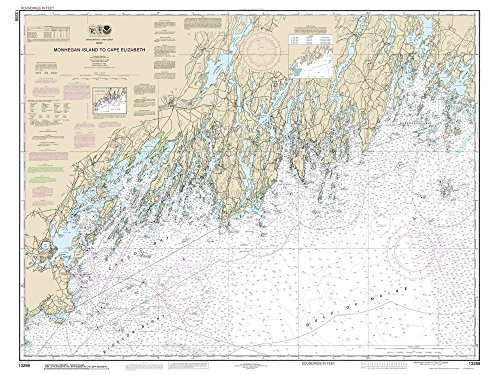
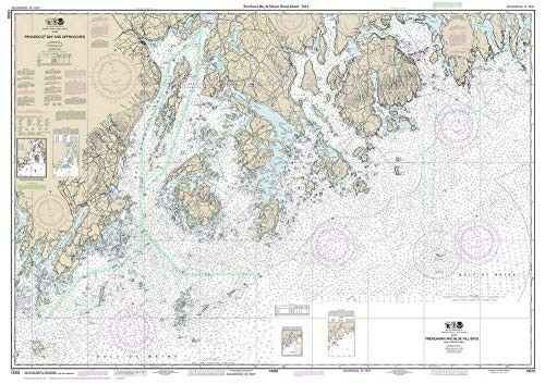
Penobscot Bay and Mt Desert Island - 2014 Nautical Map -Maine CUSTOM 80000 AC Reprint - Charts 13302-13312
MSRP:
Was:
$163.90
Now:
$81.95
Add to Cart
The item has been added
Add to Cart
The item has been added
13246 Cape Cod Bay
MSRP:
Was:
$109.80
Now:
$54.90
!

