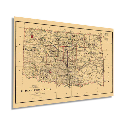
National Atlas: Rand, McNally & Co.'s Indian Territory. | Rand McNally & Co.'s Enlarged Business Atlas And Shippers' Guide ... Together With A Complete Reference Map Of The World ... Accompanied By A New and Original Compilation and Ready Reference Index, Showing In Detail The Entire Railroad System ... Engraved, Printed, And Published By Rand, McNally & Company, Chicago, U.S.A. 1889. (on verso) ... Copyright, 1889, by Rand, McNally & Co. Counties outlined in color. Railroads highlighted. Relief shown by hachures. 1st edition in this format was 1885. 18th ed. With printed color.
1889 Map of United States|Indian Territory. (Oklahoma)|Title: Rand, McNally & Co.'s Indian Territory
Was:
$129.88
Now:
$64.94
- SKU:
- ZDW826487
- UPC:
- 796930035983
- Condition:
- New
- Availability:
- Free Shipping from the USA. Estimated 2-4 days delivery.


