Summary: Notes: General-content map of the present-day borough of Brooklyn (Kings County, New York City) and the entire pre-1899 area of Queens County. Also covers Nassau County which was formed from the eastern part of Queens County in 1899. Shows incorporated cities, towns (townships), numbered districts, roads, rural buildings, and rural householders' names; shows street systems in urban areas. Shows 1-mile radial distances from N.Y. City Hall (Manhattan). Relief shown by hachures. Partially hand-colored. "Copyrighted 1886 J.B. Beers & Co." Mounted in western/eastern segments (sheets). imperfect: The 4 original sheets were conjoined to form a single sheet, later halved, mounted on cloth backing, halved again to enable sheet folding, trimmed at outer edges, original sheets brittle. Land ownership map, 512 Includes text, index of local areas, business directory, 12 local-area insets (including Long Island City--now part of Queens Borough), advertisements, and illustrations in some advertisements. 2 copies Created / Published: New York : Published by J.B. Beers & Co., 1886.
1886 Map New map of Kings and Queens Counties, New York : from Actual surveys. - Size: 22x24 - Ready
MSRP:
Was:
$95.66
Now:
$47.83
(You save
)
(No reviews yet)
Write a Review

Write a Review

1886 Map New map of Kings and Queens Counties, New York : from Actual surveys. - Size: 22x24 - Ready
- SKU:
- JA550799
- UPC:
- 768176017672
- Condition:
- New
- Availability:
- Free Shipping from the USA. Estimated 2-4 days delivery.

1868 Map New map of Grant County, Wisconsin - Size: 22x24 - Ready to Frame - Grant County | Wisconsi
MSRP:
Was:
$97.88
Now:
$48.94

Add to Cart
The item has been added
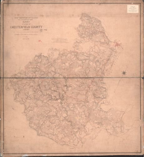
1863 Map Survey of a Part of Chesterfield County, Virginia. - Size: 22x24 - Ready to Frame - Chester
MSRP:
Was:
$119.88
Now:
$59.94

Add to Cart
The item has been added

1849 Map of New Castle County, Delaware : from Original surveys - Size: 16x24 - Ready to Frame - Del
MSRP:
Was:
$97.88
Now:
$48.94

Add to Cart
The item has been added
1851 Map of Hunterdon County, New Jersey : Entirely from Original surveys - Size: 18x24 - Ready to F
MSRP:
Was:
$125.76
Now:
$62.88

Add to Cart
The item has been added

Add to Cart
The item has been added
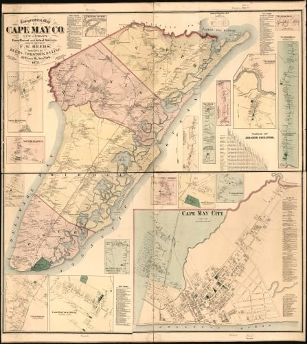
Historic Prints HP 20" x 24" 1872 Map of Topographical Map of Cape May County New Jersey from Recent & Actual Surveys
MSRP:
Was:
$127.60
Now:
$63.80

Add to Cart
The item has been added
1872 Map Topographical map of Pike County, Pennsylvania : from recent and actual surveys and records
MSRP:
Was:
$129.88
Now:
$64.94

Add to Cart
The item has been added
1872 Map Topographical map of Cape May Co, New Jersey : from Recent and Actual surveys - Size: 20x2
MSRP:
Was:
$119.88
Now:
$59.94
!


