Summary: Notes: "Entered according to act of Congress in the year 1868 by G. Delevan Pattengill in the Clerks Office of the District Court for the Southern District of N.Y." Land ownership map, 1419 Includes business directories, insets of Bloomington, Patch Grove, Mt. Hope, Wyalusing, Glenn Haven, Beetown, Montfort, Lancaster, Cassville, Jefferson, Jamestown, Fairplay, Dutch Hollow, Potosi, Hazel Green, Rockville, Platteville, views of public, residential, and commercial properties. imperfect: Mounted on cloth backing, original sheets sectioned into 6 panels. Created / Published: New York : Reed Mayer & Co., practical lithographers and printers
1868 Map New map of Grant County, Wisconsin - Size: 22x24 - Ready to Frame - Grant County | Wisconsi
MSRP:
Was:
$97.88
Now:
$48.94
(You save
)
(No reviews yet)
Write a Review

Write a Review

1868 Map New map of Grant County, Wisconsin - Size: 22x24 - Ready to Frame - Grant County | Wisconsi
- SKU:
- JA550756
- UPC:
- 784411043404
- Condition:
- New
- Availability:
- Free Shipping from the USA. Estimated 2-4 days delivery.

Add to Cart
The item has been added

1886 Map New map of Kings and Queens Counties, New York : from Actual surveys. - Size: 22x24 - Ready
MSRP:
Was:
$95.66
Now:
$47.83

Add to Cart
The item has been added
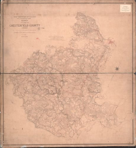
1863 Map Survey of a Part of Chesterfield County, Virginia. - Size: 22x24 - Ready to Frame - Chester
MSRP:
Was:
$119.88
Now:
$59.94

Add to Cart
The item has been added
INFINITE PHOTOGRAPHS 1861 Map of Cook County, Illinois - Size: 22x24 - Ready to Frame - Cook County | Illinois | Cook Cou
MSRP:
Was:
$129.88
Now:
$64.94

Add to Cart
The item has been added
1860 Map of Somerset County Pa- - Size 22x24 - Ready to Frame - Berlin Pennsylvania Somerset
MSRP:
Was:
$119.88
Now:
$59.94

1986 Map Burlington County, New Jersey - Size: 20x24 - Ready to Frame - Burlington County | New JERS
MSRP:
Was:
$95.66
Now:
$47.83

Add to Cart
The item has been added

Add to Cart
The item has been added

Add to Cart
The item has been added
!


