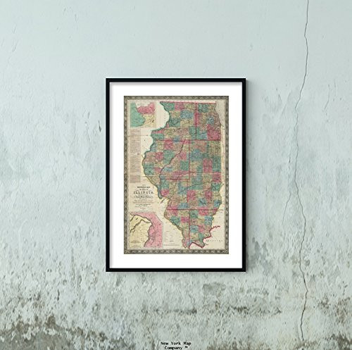
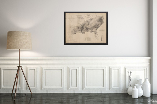
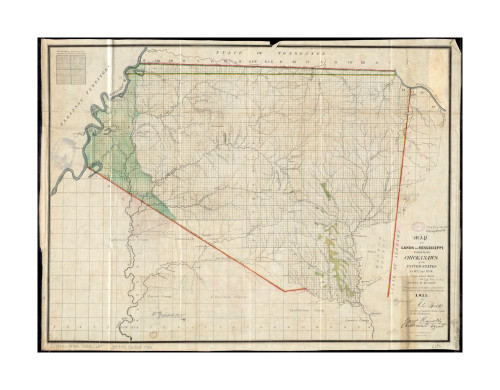
Map Size: 18 inches x 2 feet (60.96cm x 45.72cm) | Ready to frame in standard size frame (18x24) |Frame not included
1866 Map Southern United States The United States Southern Part : from The Latest surveys Map|of th|Vintage Fine Art Reproduction|Ready to Frame
MSRP:
Was:
$127.98
Now:
$63.99
(You save
)
(No reviews yet)
Write a Review
Write a Review
![1866 Map Southern United States The United States Southern Part : from The Latest surveys Map|of th|Vintage Fine Art Reproduction|Ready to Frame 1866 Map Southern United States The United States Southern Part : from The Latest surveys Map|of th|Vintage Fine Art Reproduction|Ready to Frame](https://cdn11.bigcommerce.com/s-t8bvbs505h/images/stencil/500x659/products/3700135/3990887/41d3gKF4QDL__02320.1566284968.jpg?c=2)
1866 Map Southern United States The United States Southern Part : from The Latest surveys Map|of th|Vintage Fine Art Reproduction|Ready to Frame
- SKU:
- III267880
- UPC:
- 8011485889877
- Condition:
- New
- Availability:
- Free Shipping from the USA. Estimated 2-4 days delivery.
![1817 Map Southern United States Southern Provinces of The United States Relief Shown by hachures and|Vintage Fine Art Reproduction|Ready to Frame 1817 Map Southern United States Southern Provinces of The United States Relief Shown by hachures and|Vintage Fine Art Reproduction|Ready to Frame](https://cdn11.bigcommerce.com/s-t8bvbs505h/images/stencil/500x659/products/2755233/2839751/51YbhrRBUjL__53521.1558536620.jpg?c=2)
Add to Cart
The item has been added
![1864 Map Southern United States of The South Western Part of The United States : Constructed and eng|Vintage Fine Art Reproduction|Ready to Frame 1864 Map Southern United States of The South Western Part of The United States : Constructed and eng|Vintage Fine Art Reproduction|Ready to Frame](https://cdn11.bigcommerce.com/s-t8bvbs505h/images/stencil/500x659/products/3700143/3990895/41POikzfwUL__86602.1566284971.jpg?c=2)
Add to Cart
The item has been added
![1865 Map United States Lloyd's New Military of The Border & Southern States at top of Map|The Rebel|Vintage Fine Art Reproduction|Ready to Frame 1865 Map United States Lloyd's New Military of The Border & Southern States at top of Map|The Rebel|Vintage Fine Art Reproduction|Ready to Frame](https://cdn11.bigcommerce.com/s-t8bvbs505h/images/stencil/500x659/products/3699099/3989828/41rfU4fXftL__46761.1566284634.jpg?c=2)
Add to Cart
The item has been added
![1852 Map Illinois New sectional of The State of Illinois : compiled from The United States surveys,|Vintage Fine Art Reproduction|Ready to Frame 1852 Map Illinois New sectional of The State of Illinois : compiled from The United States surveys,|Vintage Fine Art Reproduction|Ready to Frame](https://cdn11.bigcommerce.com/s-t8bvbs505h/images/stencil/500x659/products/3700155/3990907/51WCCbXV4vL__54218.1566284973.jpg?c=2)
Add to Cart
The item has been added
![1887 Map United States of The United States New dissected Map|of The United States Relief Shown by|Vintage Fine Art Reproduction|Ready to Frame 1887 Map United States of The United States New dissected Map|of The United States Relief Shown by|Vintage Fine Art Reproduction|Ready to Frame](https://cdn11.bigcommerce.com/s-t8bvbs505h/images/stencil/500x659/products/3699494/3990233/41V47M1cdhL__29722.1566284771.jpg?c=2)
Add to Cart
The item has been added
![1861 Map of Washington Map showing the distribution of the slave population of the southern states of the United States Leonhardt, Theo. (Theodore), 1818-1877 (Engraver)|Vintage Fine Art Reproduction| 1861 Map of Washington Map showing the distribution of the slave population of the southern states of the United States Leonhardt, Theo. (Theodore), 1818-1877 (Engraver)|Vintage Fine Art Reproduction|](https://cdn11.bigcommerce.com/s-t8bvbs505h/images/stencil/500x659/products/29612359/31319990/81EWQZMKCOL__16859.1709511744.jpg?c=2)
Add to Cart
The item has been added
![1864 Map United States A New of The United States of America Relief Shown by hachures. Prime meridia|Vintage Fine Art Reproduction|Ready to Frame 1864 Map United States A New of The United States of America Relief Shown by hachures. Prime meridia|Vintage Fine Art Reproduction|Ready to Frame](https://cdn11.bigcommerce.com/s-t8bvbs505h/images/stencil/500x659/products/3699543/3990282/411BoA6Hd3L__18767.1566284781.jpg?c=2)
Add to Cart
The item has been added
![1835 Map Mississippi of The Lands in Mississippi ceded by The Chickasaws to The United States in 183|Vintage Fine Art Reproduction|Ready to Frame 1835 Map Mississippi of The Lands in Mississippi ceded by The Chickasaws to The United States in 183|Vintage Fine Art Reproduction|Ready to Frame](https://cdn11.bigcommerce.com/s-t8bvbs505h/images/stencil/500x659/products/28718141/30378600/71K7m9lfErL__88617.1703995986.jpg?c=2)
Add to Cart
The item has been added
!