Map Size: 18 inches x 24 inches |Fits 18x24 size frame (or 18x24 Mat Opening)|Frame not included
1863 Map|Title: Lloyd's New Military map of The Border & Southern States|Subject: Civil War|History|
MSRP:
Was:
$127.98
Now:
$63.99
(You save
)
(No reviews yet)
Write a Review

Write a Review

1863 Map|Title: Lloyd's New Military map of The Border & Southern States|Subject: Civil War|History|
- SKU:
- III112427
- UPC:
- 7759100402124
- Condition:
- New
- Availability:
- Free Shipping from the USA. Estimated 2-4 days delivery.

Add to Cart
The item has been added
1863 Map|Title: Rockbridge Co, Va. Section no. 1|Subject: Civil War|Gilmer, Jeremy Francis|History|
MSRP:
Was:
$127.98
Now:
$63.99

Add to Cart
The item has been added

Add to Cart
The item has been added
1862 Map|Title: A Part of Henrico County|Subject: Civil War|Henrico County|Henrico County Va|History
MSRP:
Was:
$127.98
Now:
$63.99

Add to Cart
The item has been added

Add to Cart
The item has been added

Add to Cart
The item has been added
Southern States, 1864 Civil War Map|Confederate states & adjoining portion of the Federal states|20"x24" Wall Map
MSRP:
Was:
$129.88
Now:
$64.94

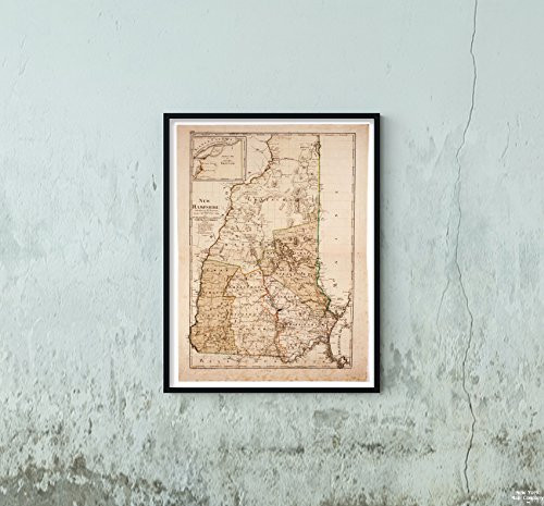
1796 Map|Title: New Hampshire|Description: Subject: Map of The State of New Hampshire Divided into c
MSRP:
Was:
$97.88
Now:
$48.94

Add to Cart
The item has been added
1864 Map|Title: Map of The Confederate Lines from New Bridge Road to Chafins Bluff|Subject: Civil Wa
MSRP:
Was:
$97.00
Now:
$48.50

Add to Cart
The item has been added
!

