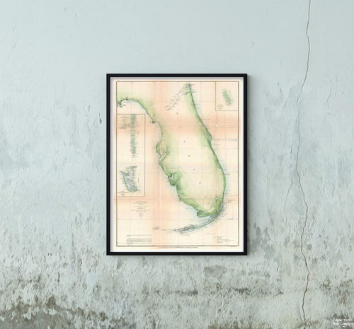
A beautiful example of the U.S. Coast Survey's 1861 triangulation chart or map of the Florida Peninsula. This nautical map covers from St. Augustine and Apalachee Bay southwards as far as Key West and the Dry Tortugas. There is an interesting swath of inland detail between St. Mary's and the Cedar Keys – indicating a rather early state of the Florida survey. Triangulation charts of this type were prepared by the Coast Survey before more detailed survey work could take place. They firmly mapped the coastline noting various pointes, inlets, harbors, and Islands. Names Fort Lauderdale, St. Augustine, Key West, and Miami. This particular example features two insets focusing on St. John's River and Charlotte Harbor. The upper right quadrant features a table of latitudes and longitudes identifying major points, cities, and lighthouses. This chart is based upon an initial reconnaissance completed by the Coast Survey's resident Gulf expert, F. H. Gerdes. Published in, the 1861 Superintendent's Report under the supervision of A. D. Bache, one of the most prolific and influential Superintendents of the U.S. Coast Survey.
1861 U. S. Coast Survey Chart or of Florida Map|Vintage Fine Art Reproduction|Size: 18x24|Ready to Frame
MSRP:
Was:
$114.98
Now:
$57.49
(You save
)
(No reviews yet)
Write a Review
Write a Review

1861 U. S. Coast Survey Chart or of Florida Map|Vintage Fine Art Reproduction|Size: 18x24|Ready to Frame
- SKU:
- ZY450973
- UPC:
- 722802024533
- Condition:
- New
- Availability:
- Free Shipping from the USA. Estimated 2-4 days delivery.

Add to Cart
The item has been added

Add to Cart
The item has been added
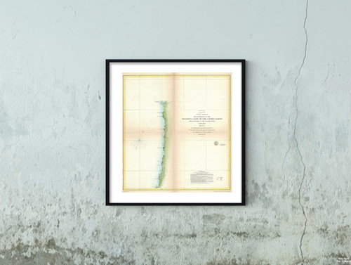
Map|1856 U.S. Coast Survey of Mobile Bay, Alabama -|Vintage Fine Art Reproduction|Size: 18x24|Ready to Frame
MSRP:
Was:
$129.88
Now:
$64.94
Add to Cart
The item has been added

Add to Cart
The item has been added
Map|East and West Florida. 1794|Vintage Fine Art Reproduction|Size: 18x24|Ready to Frame
MSRP:
Was:
$129.88
Now:
$64.94
Add to Cart
The item has been added
Map|World Aeronautical Chart. Brah utra River, 1954|Vintage Fine Art Reproduction|Size: 18x24|Ready to Frame
MSRP:
Was:
$129.88
Now:
$64.94
Add to Cart
The item has been added

Add to Cart
The item has been added
Add to Cart
The item has been added
!


