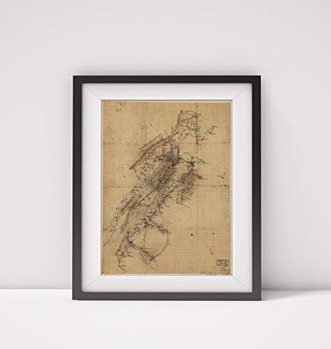
Map Size: 18 inches x 24 inches |Fits 18x24 size frame (or 18x24 Mat Opening)|Frame not included
1860 Map|Title: Map of Shenandoah Valley from Winchester to New Market, Virginia and from Millwood t
MSRP:
Was:
$127.98
Now:
$63.99
(You save
)
(No reviews yet)
Write a Review

Write a Review

1860 Map|Title: Map of Shenandoah Valley from Winchester to New Market, Virginia and from Millwood t
- SKU:
- COB119156
- UPC:
- 709092474279
- Condition:
- New
- Availability:
- Free Shipping from the USA. Estimated 2-4 days delivery.

Add to Cart
The item has been added
1926 Map|Title: Bird's Eye map of The City of Winchester|Subject: Virginia|Winchester|Winchester Va.
MSRP:
Was:
$129.88
Now:
$64.94

Add to Cart
The item has been added

Add to Cart
The item has been added
Civil War Map Reprint Maps illustrating campaign of Gen. T. J. Stonewall Jackson in the Shenandoah Valley of Virginia. 1862
MSRP:
Was:
$115.08
Now:
$57.54

Add to Cart
The item has been added
1887 Map|Title: Winchester, N.H, Cheshire County, 1887|Subject: New Hampshire|Winchester|Winchester
MSRP:
Was:
$127.98
Now:
$63.99

Map|Title: Hydrographic Reconnaissance of James River, Virginia, from Entrance to City Point|Subjec
MSRP:
Was:
$97.88
Now:
$48.94

Add to Cart
The item has been added
1860 Map|Title: Map of New Kent, Charles City, James City and York Counties|Subject: Cadastral Charl
MSRP:
Was:
$127.98
Now:
$63.99

Add to Cart
The item has been added

1761 Map A New map of Virginia from The Best Authorities - Size: 20x24 - Ready to Frame - United Sta
MSRP:
Was:
$97.88
Now:
$48.94

Add to Cart
The item has been added
1864 Map|Title: Map of The Confederate Lines from New Bridge Road to Chafins Bluff|Subject: Civil Wa
MSRP:
Was:
$97.00
Now:
$48.50
!

