Map Size: 18 inches x 24 inches |Fits 18x24 size frame (or 18x24 Mat Opening)|Frame not included
1860 Map|Title: Map of New Kent, Charles City, James City and York Counties|Subject: Cadastral Charl
MSRP:
Was:
$127.98
Now:
$63.99
(You save
)
(No reviews yet)
Write a Review

Write a Review

1860 Map|Title: Map of New Kent, Charles City, James City and York Counties|Subject: Cadastral Charl
- SKU:
- III173094
- UPC:
- 7793503569848
- Condition:
- New
- Availability:
- Free Shipping from the USA. Estimated 2-4 days delivery.

Add to Cart
The item has been added
1850 Map|Title: Map of Newport County, Rhode Island|Subject: Cadastral Landowners|Newport County|New
MSRP:
Was:
$127.98
Now:
$63.99

Add to Cart
The item has been added
1895 Map|Title: New Official map of Forest County, Pa|Subject: Cadastral Forest County|Forest County
MSRP:
Was:
$127.98
Now:
$63.99

Add to Cart
The item has been added
1860 Map|Title: Fauquier Co, Va. : Northwestern Part|Subject: Cadastral Fauquier County|Fauquier Co
MSRP:
Was:
$127.98
Now:
$63.99

Add to Cart
The item has been added
1888 Map|Title: Anderson's New map of King County, Washington Territory|Subject: Cadastral King Coun
MSRP:
Was:
$127.98
Now:
$63.99

Add to Cart
The item has been added
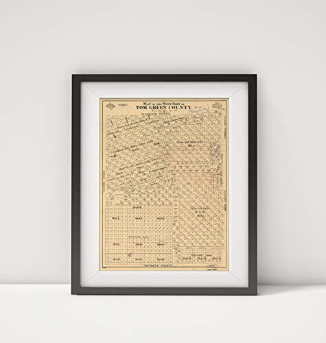
1894 Map|Title: Map of The west Part of Tom Green County|Subject: Cadastral Landowners|Real Property
MSRP:
Was:
$127.98
Now:
$63.99

Add to Cart
The item has been added
1854 Map|Title: Map of The Borough of Woodbury, N.J|Subject: Cadastral Landowners|New Jersey|Real Pr
MSRP:
Was:
$127.98
Now:
$63.99

Add to Cart
The item has been added
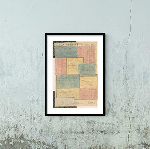
1878 Map|Title: T.C. Strickland's New sectional map of Webster Co, Missouri|Subject: Cadastral Land
MSRP:
Was:
$127.98
Now:
$63.99

Add to Cart
The item has been added
1872 Map|Title: Cadastral Topographical map of Part of N.W. Washington D.C.|Subject: District of Col
MSRP:
Was:
$127.98
Now:
$63.99

Add to Cart
The item has been added
!

