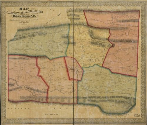
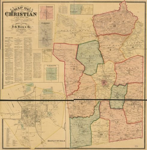
Summary: Notes: General-content county map showing rural buildings and householders' names; the insets show buildings, occupants' names, and some insets also show lot lines. Relief shown by hachures. Hand colored to emphasize town (township) boundaries and territories. "Entered according to Act of Congress A.D. 1849 by H. & C.T. Smith in the ... Southern District of New York." Printed in northern/southern segments (sheets). Land ownership map, 469 imperfect: Brittle, darkened, mounted on cloth backing, both sheets thirded to enable folding, missing sections of map content along fold lines and sheet edges. Includes distance table, local business directories, 27 small-town/village insets, illustrations of prominent buildings, and illustration of Delaware Water Gap. Created / Published: New York : Published by Smith, Gallup & Co., 1860.
1860 Map of Warren County, New Jersey - Size: 24x24 - Ready to Frame - Belvidere | Hackettstown | Ne
Was:
$119.70
Now:
$59.85
- SKU:
- JA550770
- UPC:
- 784411042254
- Condition:
- New
- Availability:
- Free Shipping from the USA. Estimated 2-4 days delivery.


