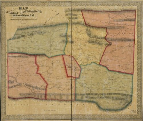
Summary: Notes: Shows magisterial districts and names of some residents. Relief shown by hachures. Oriented with north toward the upper right. Land ownership map, 1341 Copy imperfect: Shellacked and mounted on cloth backing. Created / Published: Baltimore : A. Hoen & Co., 1860.
1860 Map of The County of Rockbridge, Virginia - Size: 20x24 - Ready to Frame - Rockbridge County |
Was:
$129.88
Now:
$64.94
- SKU:
- ZDW826350
- UPC:
- 768176017696
- Condition:
- New
- Availability:
- Free Shipping from the USA. Estimated 2-4 days delivery.


