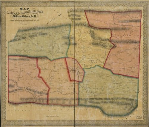
Summary: Notes: General-content county map showing rural buildings and householders' names; the Somerset and Berlin insets show real-property tracts (lots), building coverage, and owners' names. Hand col. to emphasize township boundaries, township territories, and inset maps. Relief shown by hachures. "Entered according to Act of Congress in the ... Western District of Penna., Sept. 6th 1860, by Edward L. Walker." imperfect: Brittle, darkened, trimmed along outer vertical sheet edges, lettered in blue pencil on cloth backing: Somerset Pa. Includes note, key to abbreviations, "Statistical table of Somerset County for 1860", local business directories, numerous ill. of local buildings, 2 portraits of local officials, 14 street-map insets of boroughs/villages, and commonwealth coat-of-arms. Land ownership map, 797 2 copies Created / Published: Pittsburgh? : Edward L. Walker, 1860.
1860 Map of Somerset County Pa- - Size 22x24 - Ready to Frame - Berlin Pennsylvania Somerset
Was:
$119.88
Now:
$59.94
- SKU:
- qt489227
- UPC:
- 768176018259
- Condition:
- New
- Availability:
- Free Shipping from the USA. Estimated 2-4 days delivery.


