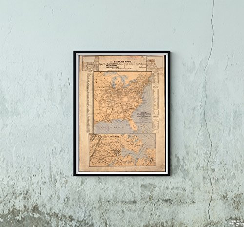
Map Size: 1 foot x 2 feet (60.96cm x 30.48cm) | Ready to frame in standard size frame (12x24) |Frame not included
18501859 Map|Title: Map of Cleveland & Toledo Rail Road, with its Connections|Notes: Includes Distances Table.
MSRP:
Was:
$125.96
Now:
$62.98
(You save
)
(No reviews yet)
Write a Review
Write a Review
![18501859 Map|Title: Map of Cleveland & Toledo Rail Road, with its Connections|Notes: Includes Distances Table. 18501859 Map|Title: Map of Cleveland & Toledo Rail Road, with its Connections|Notes: Includes Distances Table.](https://cdn11.bigcommerce.com/s-t8bvbs505h/images/stencil/500x659/products/218328/220350/51dluO0b1qL__53465.1557420928.jpg?c=2)
18501859 Map|Title: Map of Cleveland & Toledo Rail Road, with its Connections|Notes: Includes Distances Table.
- SKU:
- CY297780
- UPC:
- 7109108316303
- Condition:
- New
- Availability:
- Free Shipping from the USA. Estimated 2-4 days delivery.
![1850 Map|Title: A map of The Yearly Meeting of Friends for New England : 1850|Notes: Includes Table of references Giving Towns of Meetings, Boundaries of Quarterly Meetings, and Railroads. 1850 Map|Title: A map of The Yearly Meeting of Friends for New England : 1850|Notes: Includes Table of references Giving Towns of Meetings, Boundaries of Quarterly Meetings, and Railroads.](https://cdn11.bigcommerce.com/s-t8bvbs505h/images/stencil/500x659/products/3699115/3989844/512WzwkAfYL__66808.1566284637.jpg?c=2)
Add to Cart
The item has been added
![18501859 Map|Title: Ground Plan of The Markets of The City of New-York|Notes: Shows Layout of 16 Markets. Shows Stands for Some Markets. 18501859 Map|Title: Ground Plan of The Markets of The City of New-York|Notes: Shows Layout of 16 Markets. Shows Stands for Some Markets.](https://cdn11.bigcommerce.com/s-t8bvbs505h/images/stencil/500x659/products/3284548/3462104/518Cewb7ilL__33887.1566013386.jpg?c=2)
Add to Cart
The item has been added
![18601869 Map|Title: Topographical war map of Pennsylvania, Maryland, and Virginia|Notes: Relief Shown by hachures. Includes Text and Table of Distances and Population of Towns. 18601869 Map|Title: Topographical war map of Pennsylvania, Maryland, and Virginia|Notes: Relief Shown by hachures. Includes Text and Table of Distances and Population of Towns.](https://cdn11.bigcommerce.com/s-t8bvbs505h/images/stencil/500x659/products/217607/219427/41AHQ3ddgfL__80799.1557420746.jpg?c=2)
Add to Cart
The item has been added
![1861 Map|Title: Map of The Atlantic States, Showing Distances from Washington (in bee line) by 50 Mile Circles|Notes: Relief Shown by hachures (ancillary maps). Includes Population Tables. 1861 Map|Title: Map of The Atlantic States, Showing Distances from Washington (in bee line) by 50 Mile Circles|Notes: Relief Shown by hachures (ancillary maps). Includes Population Tables.](https://cdn11.bigcommerce.com/s-t8bvbs505h/images/stencil/500x659/products/218253/220275/514w52RSniL__26452.1557420908.jpg?c=2)
Add to Cart
The item has been added
![1887 Map|Title: Map of The Rail Roads of New Jersey 1887|Description: Township & County map Showing 1887 Map|Title: Map of The Rail Roads of New Jersey 1887|Description: Township & County map Showing](https://cdn11.bigcommerce.com/s-t8bvbs505h/images/stencil/500x659/products/3699181/3989911/51DxTOWNP-L__66639.1566284651.jpg?c=2)
1887 Map|Title: Map of The Rail Roads of New Jersey 1887|Description: Township & County map Showing
MSRP:
Was:
$97.88
Now:
$48.94
![1893 Map|Title: Cyclists' Road map of Massachusetts Part 1|Notes: 1893 Map|Title: Cyclists' Road map of Massachusetts Part 1|Notes:](https://cdn11.bigcommerce.com/s-t8bvbs505h/images/stencil/500x659/products/3699176/3989906/51XkyH3JsTL__12612.1566284650.jpg?c=2)
Add to Cart
The item has been added
1893 Map|Title: Cyclists' Road map of Massachusetts Part 1|Notes:
MSRP:
Was:
$127.98
Now:
$63.99
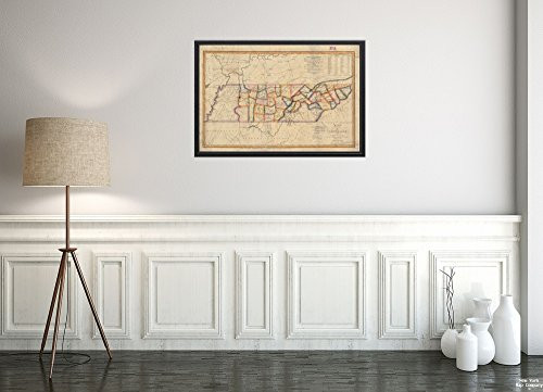
![1818 Map|Title: Map of Tennessee|Notes: Relief Shown pictorially. Includes Statistical Information and Statistical Table. 1818 Map|Title: Map of Tennessee|Notes: Relief Shown pictorially. Includes Statistical Information and Statistical Table.](https://cdn11.bigcommerce.com/s-t8bvbs505h/images/stencil/500x659/products/217673/219493/41-fdQrQXHL__10706.1557420762.jpg?c=2)
Add to Cart
The item has been added
1818 Map|Title: Map of Tennessee|Notes: Relief Shown pictorially. Includes Statistical Information and Statistical Table.
MSRP:
Was:
$127.96
Now:
$63.98
![1874 Map|Title: New Commercial and Topographical Rail Road map & Guide of California and Nevada|Subj 1874 Map|Title: New Commercial and Topographical Rail Road map & Guide of California and Nevada|Subj](https://cdn11.bigcommerce.com/s-t8bvbs505h/images/stencil/500x659/products/3698968/3989692/51QdUECRW0L__64553.1566284607.jpg?c=2)
Add to Cart
The item has been added
1874 Map|Title: New Commercial and Topographical Rail Road map & Guide of California and Nevada|Subj
MSRP:
Was:
$127.98
Now:
$63.99
![18471859 Map|Title: Map of The Alton and Springfield Railroad, in Illinois|Notes: Shows Railroads Built, Chartered and contemplated. Map Also Shows Indiana, Ohio and Part of Michigan. 18471859 Map|Title: Map of The Alton and Springfield Railroad, in Illinois|Notes: Shows Railroads Built, Chartered and contemplated. Map Also Shows Indiana, Ohio and Part of Michigan.](https://cdn11.bigcommerce.com/s-t8bvbs505h/images/stencil/500x659/products/3699286/3990019/412YT2ivUdL__50521.1566284673.jpg?c=2)
Add to Cart
The item has been added
!