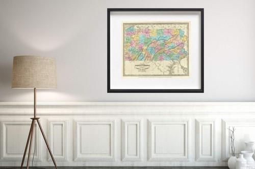
St. Lucia; done from surveys and observations made by the English whilst in, their possession, by Thomas Jefferys, Geographer to the King. London, printed for Robt. Sayer, Map & Printseller, no. 53 in, Fleet Street, as the Act directs 20th Feby 1775., The West-India atlas: or, a compendious description of the West-Indies: illustrated with forty one correct charts and maps, taken From actual surveys. Together with an historical account of the several countries and islands which compose that part of the world.
1775 Map|Regional Atlas St. Lucia|Historic Antique Vintage Reprint|Size: 20x24|Ready to Frame
MSRP:
Was:
$129.88
Now:
$64.94
(You save
)
(No reviews yet)
Write a Review

Write a Review

1775 Map|Regional Atlas St. Lucia|Historic Antique Vintage Reprint|Size: 20x24|Ready to Frame
- SKU:
- ZY555486
- UPC:
- 722802106482
- Condition:
- New
- Availability:
- Free Shipping from the USA. Estimated 2-4 days delivery.

Add to Cart
The item has been added
1884 Map|World Atlas Original Thirteen Colonies|Historic Antique Vintage Reprint|Size: 20x24|Ready to Frame
MSRP:
Was:
$129.88
Now:
$64.94

Add to Cart
The item has been added
Map|World Atlas, Provincia di Calabria Ultra 1714|Historic Antique Vintage Reprint|Size: 20x24|Ready to Frame
MSRP:
Was:
$129.88
Now:
$64.94

Add to Cart
The item has been added

Add to Cart
The item has been added
Map|World Atlas of Europe in Napoleon's time, About A.D. 1810|Historic Antique Vintage Reprint|Size: 20x24|Ready to Frame
MSRP:
Was:
$129.88
Now:
$64.94

Add to Cart
The item has been added
1834 Burr Antique of Pennsylvania Map|Historic Antique Vintage Reprint|Size: 20x24|Ready to Frame
MSRP:
Was:
$129.88
Now:
$64.94

Add to Cart
The item has been added

Add to Cart
The item has been added

Add to Cart
The item has been added
1833 Map|Eagle of the United States|Historic Antique Vintage Reprint|Size: 20x24|Ready to Frame
MSRP:
Was:
$129.88
Now:
$64.94

Add to Cart
The item has been added
Map|World Atlas, Wisconsin 1893|Historic Antique Vintage Reprint|Size: 18x24|Ready to Frame
MSRP:
Was:
$127.98
Now:
$63.99
!

